Activities
Ten ideas for walking around Saint-Montan, with the right starting point
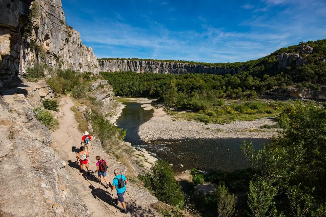
A walk “around Saint-Montan” does not necessarily start from the Mas. Some start in the village, others require a journey to the plateau or access to the gorges. Here are ten outing ideas, with this distinction. For areas without a specific circuit indicated, choose a guide from the tourist office before leaving.
The village and the nearby paths
1. La Sainte-Beaume, leaving the village. The official guide indicates a loop of 6,6 km, 305 m height difference and 2:30, classified difficult. It leaves the post office car park, passes through the hermit's cave and Larnas. Rocky and steep terrain; route not recommended in wet weather.
2. The Val Chaud towards Larnas. Ask for the current circuit and markings: several paths connect the village and the plateau. Do not repeat an approximate distance as if it describes your exact variation.
3. The streets of Saint-Montan. A walk can be kept short, with the cobblestones, the facades and the climb towards the castle. Stairs and slopes require a choice based on mobility. Access to the fortress depends on its visiting conditions. The story of the restored village accompanies this discovery.
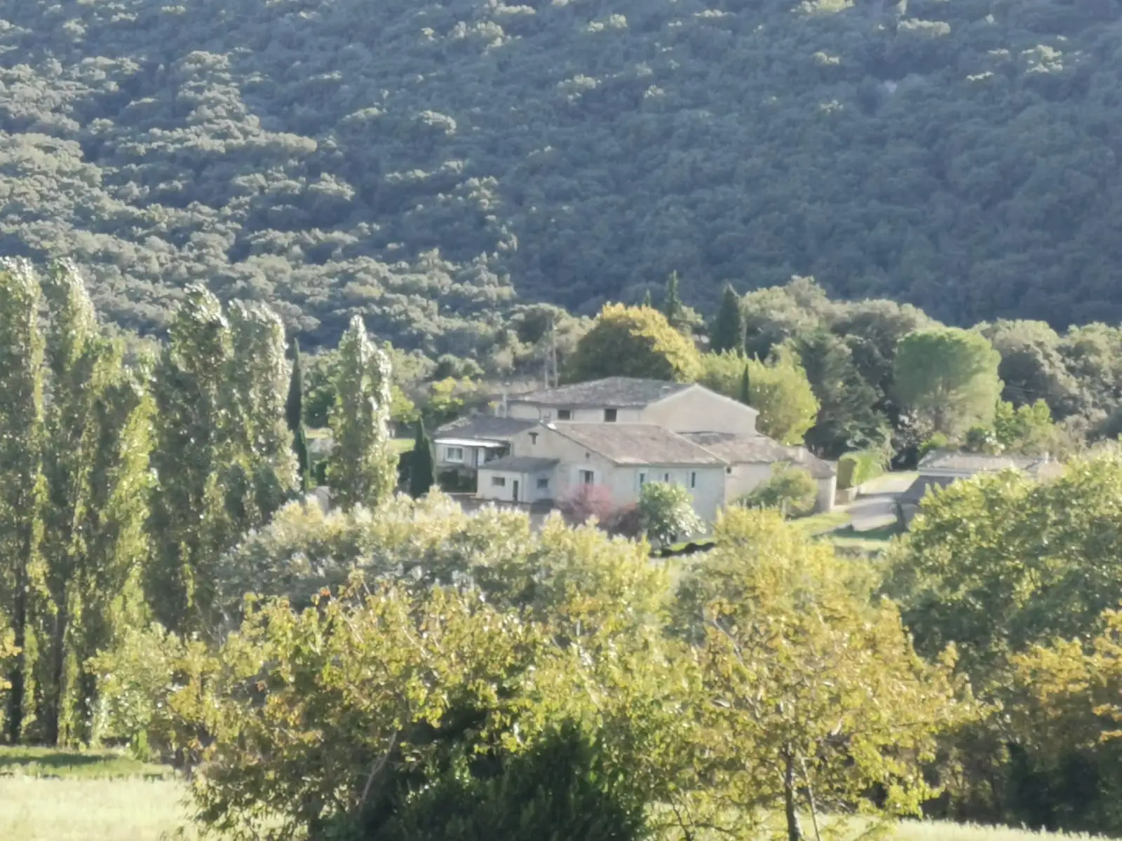
4. The paths around the hamlet of Eylieux. From the accommodation, confirm access, private plots and the planned route with Pascale. We do not publish here an official loop with guaranteed duration or elevation gain.
The plateau, heritage and the Rhône
5. The Dent de Rez. The massif and its views require you to choose a specific circuit starting from the Gras sector. Consult the sheet and current restrictions; a short variation and a long loop do not require the same effort. The topo of the Dent de Rez is a lead to compare with the information from the office.
6. The Larnas sector. Vineyards, cultures and Romanesque heritage can make up an outing on the plateau. Ask for a marked circuit and its difficulties; don’t treat the entire area as an easy stroll.
7. The Tourne valley in Bourg-Saint-Andéol. A visit around the springs and heritage can replace a long hike. Find the Bourg-Saint-Andéol guide, then confirm the accesses and open locations.
8. A section of ViaRhôna. Between Viviers and Bourg-Saint-Andéol, choose the section and the return rather than counting the entire cycle route as a walking loop. Take into account portions shared with other users.
In the gorges: two demanding hikes
9. The upstream path, towards Gournier. The official guide announcement 12,5 km and 6:00, linear, with a departure from the Pont d’Arc/Chames side. Check the access points and the water level with the office; arrange the return. Our Pont d’Arc guide prepare the journey.
10. The downstream path, from Gournier to Sauze. The official file indicates 11,6 km and 8:00, a ladder, a chimney and two obligatory fords. The route is difficult and reserved for experienced walkers. The water level must be sufficiently low and the conditions confirmed; it is not a loop starting from Saint-Martin.
These trails require complete preparation, not just shoes and a water bottle. To see the canyon with less walking, choose the belvedere route.
Three precise guides, three different accesses
Marks read on the official files on 6 October 2026. The durations are those of the topos, without the journey from Eylieux or the organized return.
| Topo | Departure announced and access to be prepared | Limit that can make you give up |
|---|---|---|
| Sainte-Beaume | Hiking sign at the post office and pharmacy parking lot in Saint-Montan; Official GPX | Difficult, rocky and steep loop; not recommended in humid weather |
| Upstream trail | Parking 3 Belvedere or Tiourre bridge in Chames; arrival at Gournier | Difficult and linear route, with fords; water level and return to be confirmed |
| Downstream trail | Bivouac de Gournier, to be reached via the access detailed in the topo; arrival in Sauze | Fords and technical passages; no departure from the center of Saint-Martin |
The two gorge sheets also offer their GPX tracks. Download the guidebook and prepare the route to the start separately: none of these three hikes starts at the door of the lodge.
Prepare the walk and the day at the Mas
Consult the official guides, access restrictions to the massifs, the weather and the terrain. By strong heat, shorten or replace the output. The choice of period also counts, without guaranteeing practicable conditions.
The Mas gîtes allow you to return between two excursions. The swimming pool is seasonal, from mid-May to September depending on the weather. Specify your mobility needs to choose accommodation and access on site.
Practical questions
Is Sainte-Beaume an easy hike?
The official topo for the difficult class: 6,6 km, 305 m altitude difference and 2:30, with very rocky and steep portions. He advises against the route in wet weather. Choose according to the experience and conditions of the group.
Are the gorge trails loops?
The upstream and downstream routes presented here are linear and difficult. They ask to check the water level, accesses and passages, then to organize the return. The driving time to Saint-Martin does not describe access from Gournier.